171 Mali · Bamako
Country: Mali
City: Bamako
Scene code: 171 — country 17, city 1
Location and geography
Bamako is Mali’s capital on the Niger River in southwestern Mali. River crossings connect neighborhoods, while hills rise near parts of the city. The setting differs from the desert landscapes often associated with the country’s north. The Niger is a transport, ecological, and cultural link to a much wider West African region.
Culture and everyday life
Bamanankan is widely used alongside French and other Malian languages. Music, oral storytelling, textiles, and photography are important cultural threads. The city brings together people from many communities rather than one uniform tradition. Markets and river activity connect daily exchange with national crafts and regional agricultural products.
A short history
Bamako developed from a trading settlement into a major administrative center during French colonial rule. Mali’s independence in 1960 established its role as the national capital. Its rapid growth reflects migration and expanding institutions. Museums help connect modern Bamako with Mali’s deeper histories without confusing it with distant cities such as Djenné or Timbuktu.
Famous sights and sightseeing
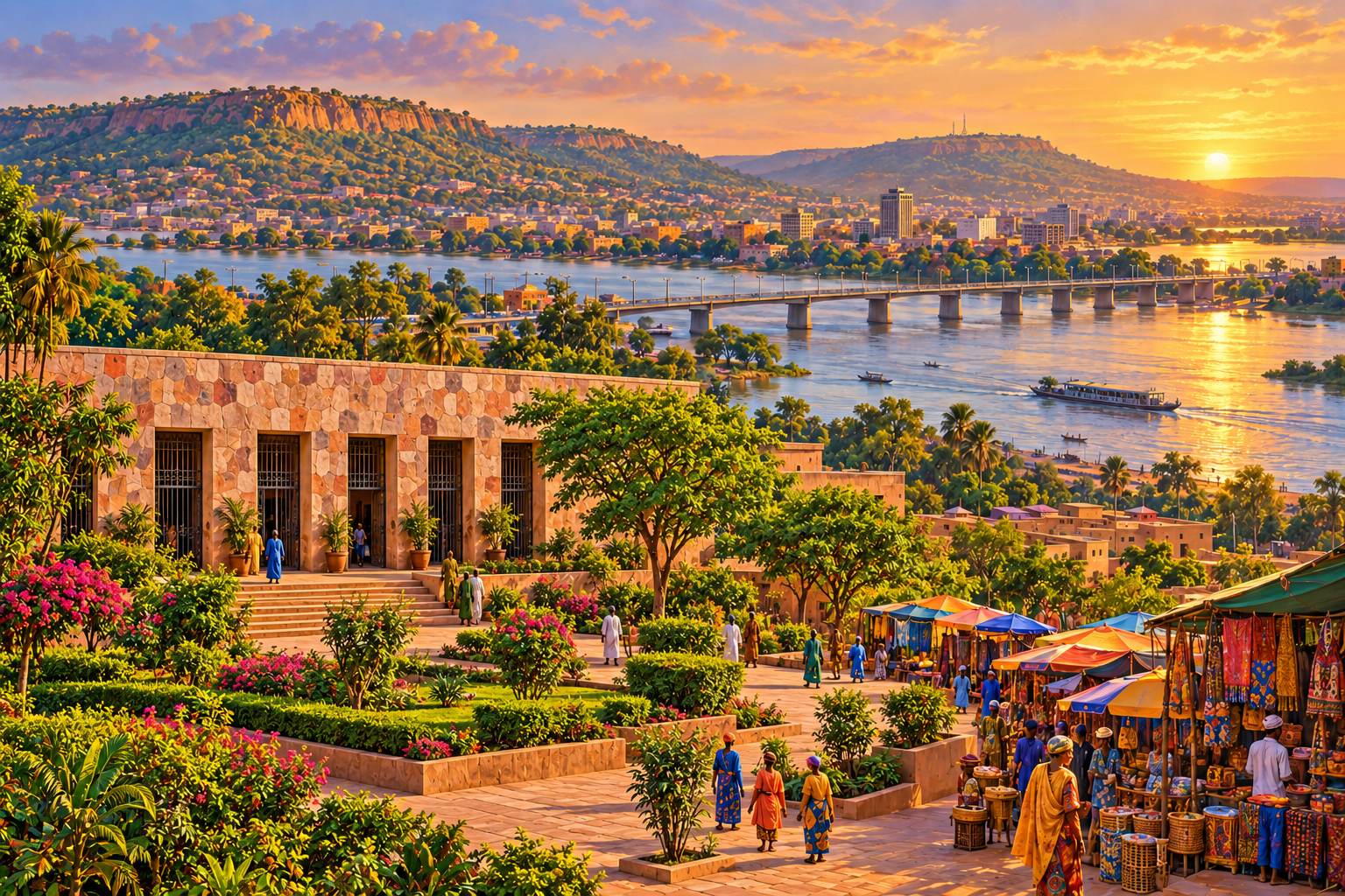
National Museum of Mali: collections introduce archaeology, textiles, instruments, and diverse communities.
Niger River: bridges and river activity provide the scene’s geographical anchor.
Point G hills: elevated terrain helps explain the city’s landscape.
Grand Mosque: a major religious landmark within the urban area.
National Park: a green setting complements the nearby museum district.
The scene
This travel-game panorama uses National Museum of Mali and the city’s wider setting as its visual clues, combining warm light with recognizable architecture or natural forms. Compare their shapes and setting with the sightseeing descriptions to connect each landmark with the city’s geography and history.
This AI-generated illustration artistically combines places. Details, distances, proportions, and relative positions are not a geographically exact record. Additional sights discussed in the post may not all appear in the image.
Geography clue
Find Mali’s Niger River capital, with a national museum connecting many communities’ cultural traditions.
Answer: Bamako, Mali.
Sources
Image creation
Created with the built-in image generation tool. Actual prompt used for this scene:
Edit this Bamako, Mali travel-game panorama. Correct the museum in the entire left foreground: REMOVE the tall mud towers, all protruding wooden beams, and the fantasy mosque-like architecture. Replace with the recognizable National Museum of Mali entrance, which is a LOW SINGLE-STORY rectangular wall clad in irregular mottled pink, beige, gray and reddish stones, FLAT HORIZONTAL roofline, FIVE tall narrow rectangular openings with black metal grille gates. Museum height must be modest, roughly one-third the height of nearby mature trees; absolutely NO towers or minarets on the museum. Put green museum gardens and a paved courtyard in front, without the large freestanding figurative statues. Preserve the Niger River, bridge, Bamako hills and distant city, market textiles, people, warm golden light, landscape framing and painterly style. This is an artistic compressed city panorama. No captions, no lettering even on the museum, no logos or watermarks.